|
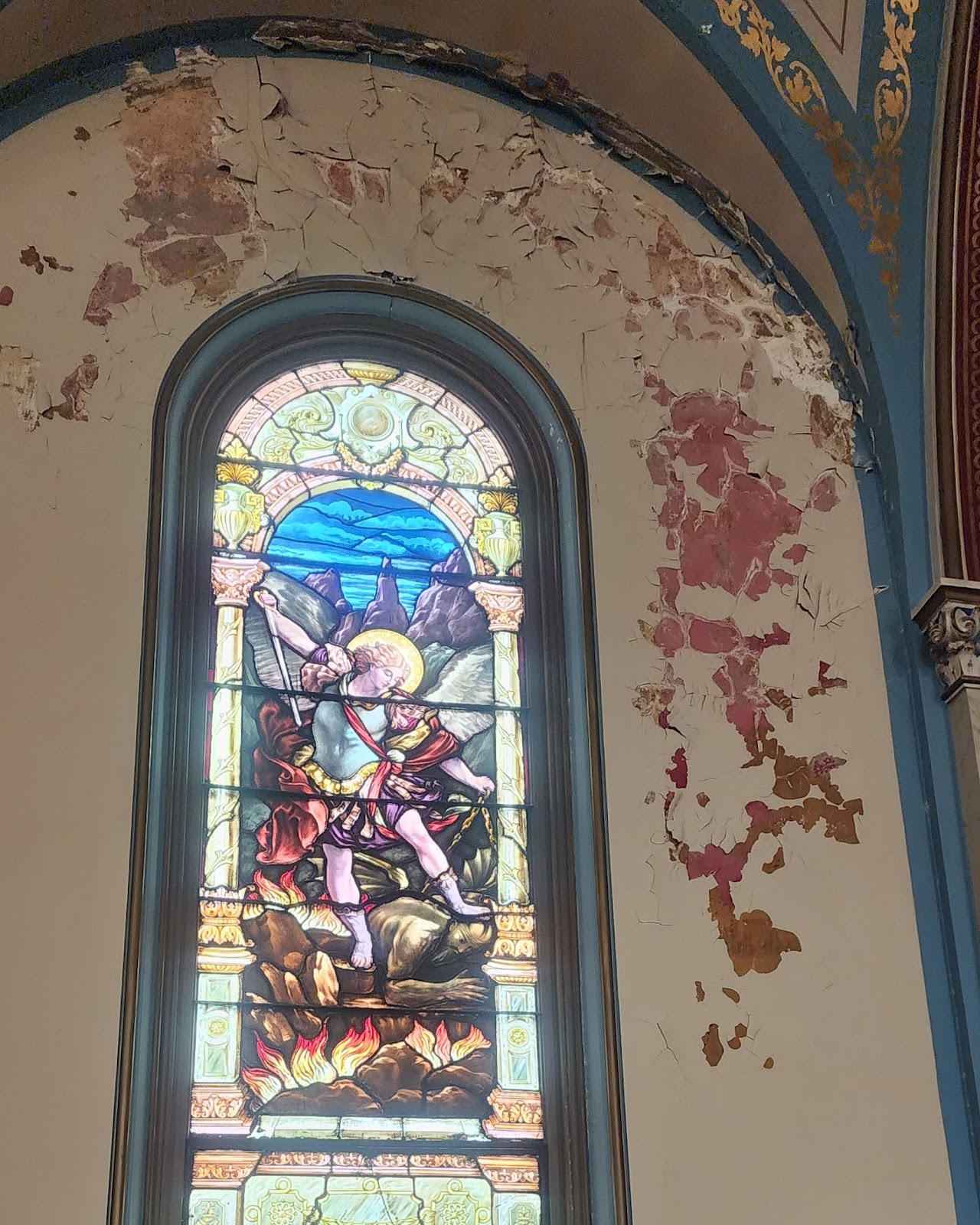
| Inside the Holy Cross Hospital Chapel, June 26 2024. |
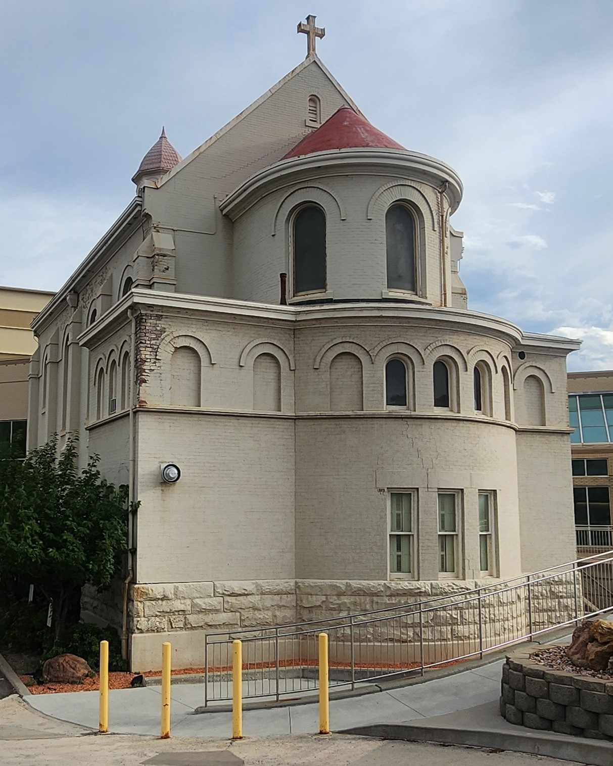
I recently toured the interior of the old Holy Cross Hospital Chapel, although now the hospital is known as CommonSpirit Holy Cross Hospital Salt Lake and is located at 1050 E S Temple SLC.
The chapel was built in 1904 and was severely damaged in the 2020 earthquake.
Thankfully the hospital has plans to repair (not demolish) the chapel and I was told that fundraising will start later this year or early next year. You can see some of the damage in these photos.
Interestingly, the windows in the chapel are not stained glass, rather they are painted. I have included a close-up image of the St. Patrick painted glass window (Image 2).
The interior painting of the chapel was done by Italian artisan, Achille Pertelli, and was completed in 1909.
The chapel was probably designed by Carl M. Nehausen, who also designed the Cathedral of the Madeleine and St Ann’s Orphanage (now a school).
Image 9 are historic photos. The top is the exterior from 1909. The lower one is the interior from 1904 at the dedication, note the lack of the Pertelli paintings. Images from USHS.